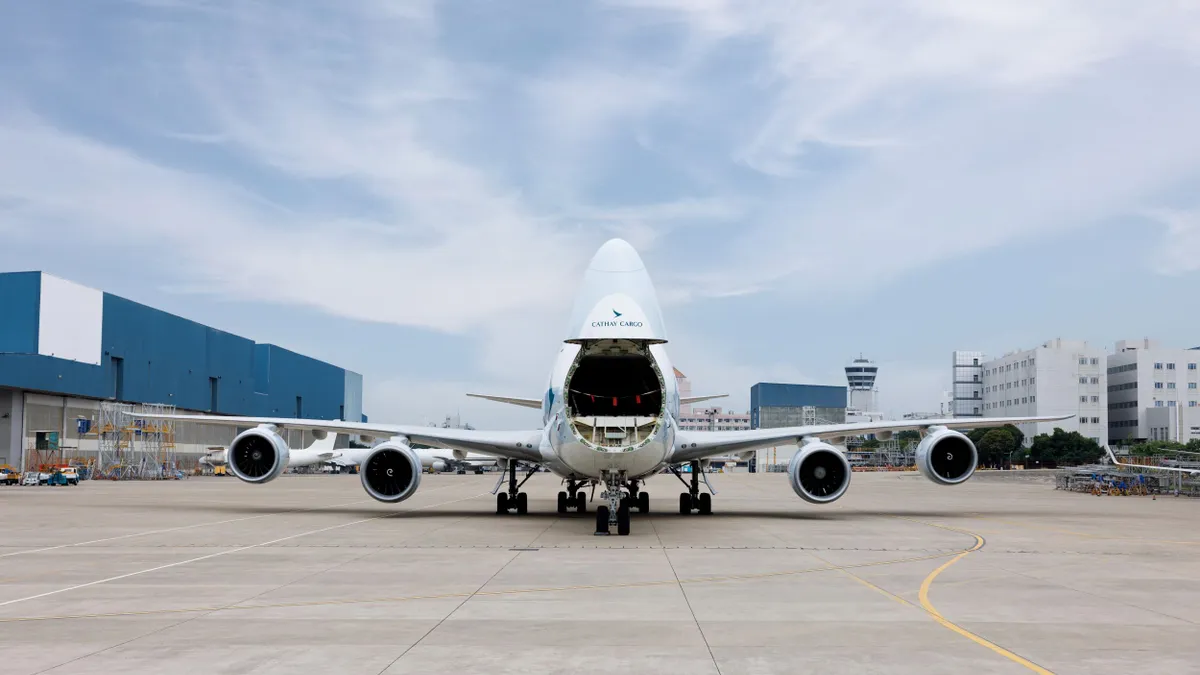
For 20 years and counting, Atlanta's Hartsfield-Jackson International Airport (ATL) has worn the badge of honor of busiest airport in the world. About 275,000 passengers traverse the airport each day, and nearly 650,000 metric tons of cargo and mail passed through the facility in 2016.
"It is a major gateway to the world — one can reach pretty much any destination within one or two flights from Hartsfield-Jackson International," Jon Slangerup, Chairman and CEO of American Global Logistics, told Supply Chain Dive.
With the airport's sprawling network of flights and connections, it's no surprise major companies such as Coca-Cola, Home Depot and UPS have set up shop nearby in the city of Atlanta, offering them close proximity to the airport to receive supplies and ship their goods.
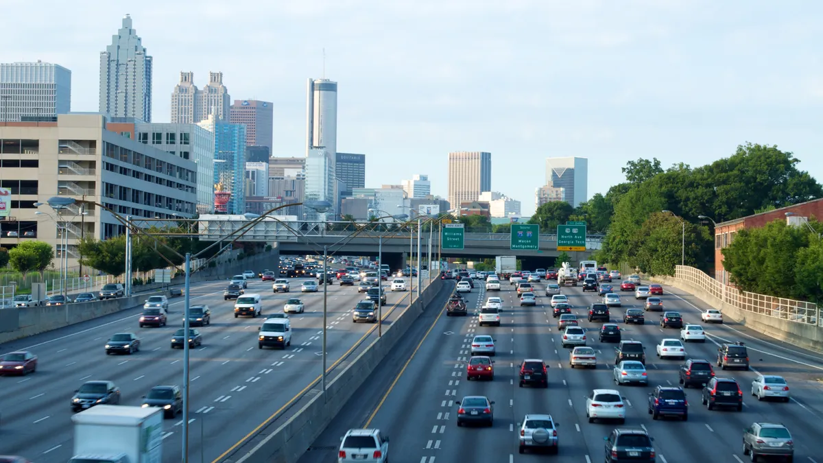
With growth comes growing pains, and one of the biggest issues plaguing the city's streets is traffic congestion — but the city has a plan.
"Technology can be a great enabler of easing congestion in high volume areas," Slangerup said. Through satellites, sensors and automation, the greater Atlanta area is implementing technology solutions to ensure people and goods flow freely — both in the air and on the ground.
Technology to manage hundreds of flights per hour
Despite thousands of flights arriving and departing every day at Atlanta's international airport, air traffic suffers from very little congestion. In fact, in addition to being the busiest airport in the world, ATL has also been ranked the most efficient airport in the world since the early 2000s.
"Air Traffic Control is a very well-planned, highly-structured system," a spokesperson for the Federal Aviation Administration (FAA) told Supply Chain Dive.
Atlanta's international airport has five parallel runways, allowing several flights to take off and land simultaneously. In good weather conditions, as many as 132 flights can land each hour, the FAA said, with that figure dropping to 98 flights per hour in low visibility conditions.
The efficiency has been the result of numerous sophisticated technologies used to manage air traffic.
"Time-Based Flow Management (TBFM) is an important tool that air traffic controllers use very effectively to manage traffic at ATL," the FAA spokesperson said. The tool monitors planes' locations in the air and determines the most efficient schedule to get the aircraft to its destination.
In addition, the FAA has deployed satellite and automation technology at ATL for greater accuracy and more efficient routing, through tools such as Performance Based Navigation (PBN) and En Route Automation Modernization (ERAM).
"In the past, pilots flew over one ground-based radio transmitter and then flew over the next one in a zigzag pattern," the FAA said. "PBN enables aircraft to fly much more directly from departure to destination by using satellite signals."
The 'vicious cycle' of traffic congestion
Shipments by air may arrive quickly and efficiently into Atlanta's airport, but rarely is the airport the final destination for products, Slangerup said. "Currently, the predominant method of getting goods from seaports and airports to other cities within a given radius is trucking."
The same efficiency found in Atlanta's airport operations unfortunately has yet to be found on the city's roadways. "Delayed goods are a real problem, regardless of the mode moving them," he said.
While Los Angeles takes the cake for worst traffic congestion in the world, Atlanta is not far behind, ranking 8th in the world and 4th in the U.S. The average commuter in the region spends 70 hours per year in traffic — nearly three days.
The worst U.S. cities for traffic congestion
| Rank | City | Hours/Year in Congestion |
|---|---|---|
| 1 | Los Angeles | 102 |
| 2 | New York City | 91 |
| 3 | San Francisco | 79 |
| 4 | Atlanta | 70 |
| 5 | Miami | 64 |
INRIX Global Traffic Scorecard
Of the 100 worst bottlenecks in the U.S. ranked by the American Transportation Research Institute (ATRI), seven are located in and around Atlanta. The top bottleneck is Atlanta's intersection of I-85 and I-285, commonly referred to as the Spaghetti Junction, where the average speed is just 37 mph — and less than 25 mph during peak times.
"Trucks carrying containers, whether they’re 20- or 40-feet, tend to slow the flow of traffic. They’re big, less than speedy and obtrusive, and their impact on automobiles cannot be overstated," Slangerup said. "Of course, the more congestion in any given area, the slower the movement of the goods being transported. It becomes a bit of a vicious cycle."
Roadway congestion, through a combination of both trucks and cars, puts significant stress on infrastructure. The most recent infrastructure report card for Georgia, published by the American Society of Civil Engineers in 2014, gave the state a grade of "C" for infrastructure, and "C-" for its roads.
Smart corridors: the congestion solution?
In highly trafficked areas, technology "can provide the kind of visibility that helps logistics and supply chain professionals be more proactive about sending more goods into an already saturated environment," Slangerup said.
Earlier this year, the Georgia Department of Transportation announced plans to build a smart commercial vehicle-only corridor along I-75 in hopes of alleviating congestion. The $2 billion project is scheduled to begin construction in 2026 and could take 10 years to build.
While details aren't finalized, the project could involve fiber optic cables and sensors to inform drivers on traffic conditions and congestion. Technology involved in the smart corridor would likely also support autonomous technology, such as truck platooning, which digitally tethers two trucks so that they travel very closely to each other, thus reducing drag and fuel usage.
"[Trucks are] big, less than speedy and obtrusive, and their impact on automobiles cannot be overstated."

Jon Slangerup
Chairman and CEO, American Global Logistics
The corridor is some years away, but Atlanta is already testing a smart corridor on a roadway known as North Avenue — a collaboration between Georgia Tech and the city of Atlanta and launched last year. The avenue connects several important destinations in Atlanta, including headquarters of Coca-Cola and AT&T and the Georgia Department of Transportation.
Along the corridor are hundreds of internet of things (IoT) sensors and high definition cameras connected to an app with video analytics. "All of the traffic signals are like neighbors. Each neighbor is telling the other, 'here's what's coming your way,'" Keary Lord, project director of National ITS and Traffic Engineering Services at Atkins said in a video. "They can constantly repeat algorithms to provide better mobility."
Among the goals are reducing congestion on the road, moving vehicles more efficiently and improving safety. The project serves as a pilot, with more smart corridors possibly rolling out in the future.
The Atlanta Regional Commission expects 56% growth in freight volume by 2040, and smart city solutions will be critical to handle the more trucks on the road. Slangerup said a combination of technologies, such as artificial intelligence, GPS and predictive modeling will help to provide greater insight into congestion.
"I don’t know that we, as an industry, have yet developed the technology that can truly mitigate congestion," he said.


