Dive Brief:
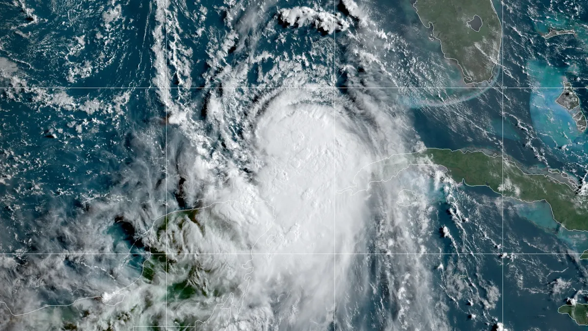
- Hurricane Laura will likely make landfall Wednesday evening as a Category 3 or 4 hurricane, according to Mark Russo, SVP of Weather Operations at Riskpulse. The storm is threatening supply chains between Louisiana and Texas with the possibility of a major impact to the Houston area.
- The Port of Houston is "tentatively" planning to cease operations at some terminals Tuesday evening and close the entire port Wednesday and possibly Thursday.
- Downed trees and road closures are major concerns along I-10, which runs east-west through the Florida panhandle, across Louisiana, Texas and to Los Angeles, and I-45, connecting Dallas and the Gulf Coast, Russo said. Roughly 200 miles of each interstate are in the storm's potential path. "Precautionary measures should be taken here, or alternative routes should be taken to reduce the risk of disruptions across this zone," said Russo.
Dive Insight:
As Tropical Storm Marco, which threatened the Gulf Coast yesterday, lost strength and fell apart, concern about Hurricane Laura grew. According to Russo, there is potential for a greater than 9-foot storm surge in the hardest-hit area — but the location of that area is hard to predict at the moment.
Forecasters say Laura is a "moving storm" presenting a reduced risk of the Hurricane Harvey-style extreme flooding seen when the storm stalled over Houston, Texas.
According to Jonathan Porter, AccuWeather meteorologist and VP and general manager of AccuWeather For Business, areas east of the Port of Houston and west of the Port of New Orleans are extremely likely to see significant impact.
"Significant hurricane impacts are likely at Sabine Pass, Port Arthur/Beaumont and Lake Charles and surrounding areas," said Porter, adding these smaller ports will likely be non-operational for several days.

Laura's Tuesday trajectory brings the Port of Houston into play. According to Russo, Houston's port handles 70% of the container cargo making land in the Gulf of Mexico, meaning its closure may have a larger effect on supply chains than disruptions at nearby Mobile or New Orleans. But the extent of the impact on the port and the Houston metro area is uncertain.
"There is still a risk of hurricane-force wind gusts in the Houston/Galveston area if Laura moves further west as the hurricane approaches the coast – should this occur, there will be greater impacts to port operations and oil refineries given the high density of key assets in the Houston area," said Porter.
Porter said wind gusts will lessen as Laura moves inland, though winds could still be above 50 mph as far north as Arkansas. And while the storm is not expected to stall like Harvey, heavy rainfall could still produce flooding from the Mississippi Valley to the Mid-Atlantic, Porter said. "Localized flooding risks can cause transportation delays in some of these areas through the weekend," he said.
Marco and Laura have already wreaked some level of havoc for supply chain operations around New Orleans. The city's port closed Monday causing BNSF to hold New Orleans-bound trains and reroute freight. BNSF has set up a 24-hour command center to monitor Laura, according to a Monday statement.
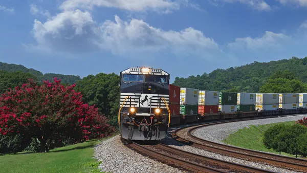
Union Pacific closed its Avondale, Louisiana, intermodal terminal Sunday "until further notice" and is positioning fuel, generators and staff in advance of Laura's predicted Wednesday arrival according to an announcment Sunday. Kansas City Southern and Norfolk Southern are monitoring the storm as well.


